01
Global coverage
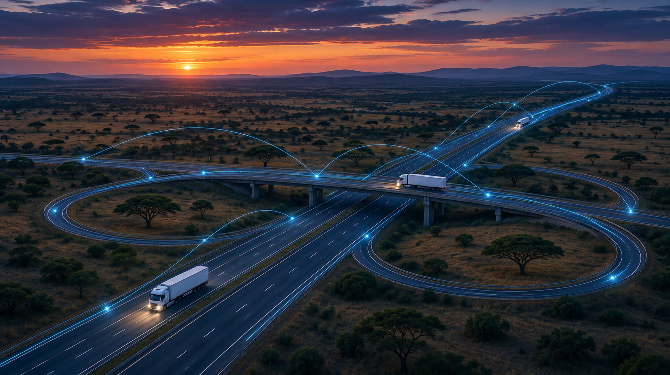
Track your fleet anywhere on Earth, including places with no cellular connectivity.
Each tracker uses GPS for its position and reports over satellite or cellular networks, so your map keeps moving where other systems go dark.
Track your fleet anywhere on Earth, including places with no cellular connectivity.
Live location data for complete, continuous visibility of your operations.
Know the exact location of every vehicle, on a clear live map.
Review complete journey history with route playback and a timeline.
Draw virtual boundaries and get alerts the moment a vehicle enters or leaves.
Data is stored on the device during a temporary loss of signal and sent when the link returns.
How it works
Trackers connect to several satellite networks at once for redundancy.
Location data is encrypted and sent over satellite or cellular to secure servers.
The platform shows each update on your dashboard within seconds.
Get notified of geofence breaks, unauthorised movement and other critical events.
Start a free trial. Nothing is charged until it ends, and we remind you before it does.